
Intern Log : Alessia Isolani : February/March 2020
February has been filled with a lot of work in the archaeology department. We have been continuing our work at Cinnamon Bay, and have been making great progress. We have had a lot of interested visitors stop and talk to us, usually asking for more information about what type of archaeology we conduct in the park, and it has been great to be able to share information about St. John’s history and the archaeology work we are doing. A group of Danish students visited with a class of students from the Montessori School on St. Thomas. These students came to St. John to learn more about the Danish history on the island. We hope to have more school groups visit us in the future, and also welcome any volunteers who want to learn more about Archaeology.
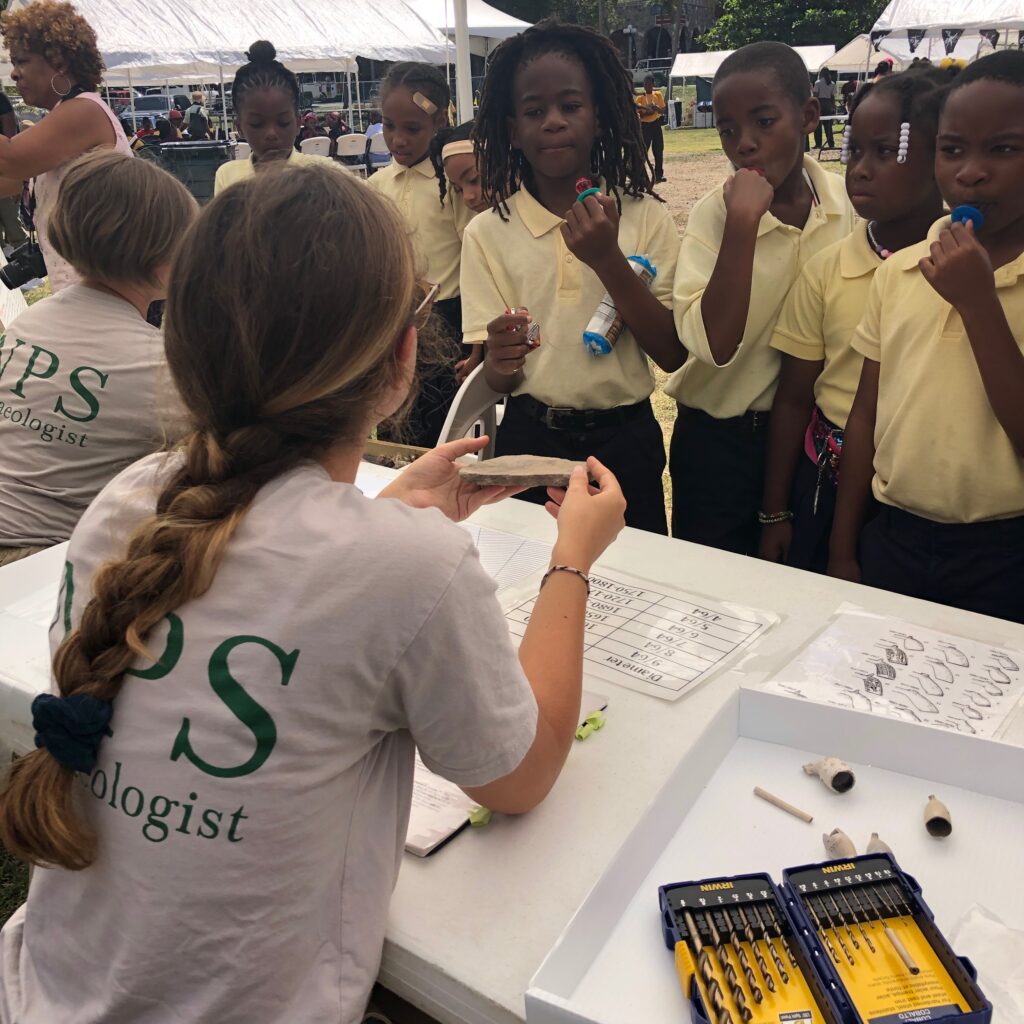
St. John has experienced sea levels and tidal patterns rising which is causing more and more beach erosion at Cinnamon Bay. A combination of global warming and increased hurricane intensity has worsened these erosion issues. The area we are working in is becoming increasingly at risk of beach washout and a resulting loss of cultural material, so by continuing our dig at Cinnamon we are able to save significant artifacts that help tell the story of the Taino who lived here. I have also begun working with PhD student Jessica Samuels from Boston University as she conducts research using the park’s archive. It has been great to have a member of the St. John community utilize this park resource! February was Black History Month which was celebrated in part with the Folklife Festival held at the Cruz Bay Ballfield. It was wonderful to get to interact with so many of the students and community members on St. John. We were happy that we got to set up three stations for people to learn about our current projects, artifact recovery, and artifact analysis.
At the beginning of March, Ken Wild and I spent a couple days working with the buoy maintenance and commercial diving team with the park. Ken conducts underwater surveys before any new screws are placed underground in order to ensure that no underwater cultural resources are harmed in the placement of buoys or moorings. On dives like these, I assist topside with dive time and air pressure tracking as well as by making sure that the divers are handed all the tools that they need for the dive once they are in the water. This was followed by a Landscape Architecture and Historical Preservation Field School coming to St. John from the University of Georgia. We were thrilled to have them on here to map the cultural landscape at Annaberg to include a significant number of structures and areas that had yet to be recorded, mapped, or photographed. One of the main focuses of this field school was to map in the historic aqueduct and cisterns that supplied water to the people who lived at Annaberg. The team of students also mapped in new portions of the village sites of those who were enslaved and living on Annaberg. Another exciting aspect of this project was how quickly we were able to present this project as an educational resource. By March 16th we had 5 different grades from Gifft Hill School come to Annaberg to learn about the Aqueduct system and the recently uncovered enslaved village sites. For More information on the Annaberg Aqueduct project, check out the follow up to this post below.
We are disappointed to learn that the Danish students and Elizabethtown College field school who were scheduled to arrive at the end of March have been forced to cancel their research trip to St. John due to the growing issue that COVID-19 has presented. However, the Danish students research on the 1733 slave rebellion is continuing thanks to the online archives and hopefully we will still be able to map this historic episode as it unfolded across the island’s landscape. As I am sure everyone has experienced, the spread of this virus caused many unexpected changes in plans as travel slows and social distancing becomes increasingly important. If you are looking for some at home learning, check out the articles posted on the Archaeology page of the Friends website.
Project Detail : Georgia/ Annaberg field project
As a part of the repair and recovery of the Annaberg cultural landscape there has been an effort to expand our knowledge of the history of Annaberg. A Landscape Architecture/Cultural Landscape field school with University of Georgia students was tasked with recording new attributed of the landscapes and structures. Our main goal was to add in parts of the historic aqueduct and cistern system that supplied the enslaved Africans living at Annaberg, as well as the livestock, food production/gardens, and factory production of sugar and rum. The aqueduct extends up the hill on the south side of the factory. Although some groups may have visited the aqueduct system in the past, it has been over 7 years since anyone had seen the ruins, and the structures had never been accessed or added to the Cultural Landscape Inventory.
We were intent on locating the aqueduct and completing this project because it helps to provide a better picture of the lives of the enslaved people at Annaberg. By projecting a drawn map of the aqueduct and cisterns onto a satelite image of the area, I was able to georeference the drawing and get location-specific points that I could then load into a GarminGPX device. This allowed me and Ken Wild to go into the hillside armed with loppers with the goal of both finding the aqueduct system and cutting a path so that the structures could be accessed by the Field School who would be arriving the following week. We were happy to discover that our Garmin device was able to navigate us to the cistern structures, and we ended up finding and clearing the aqueduct and cisterns. As the goal of this project was to better represent the realities of the Annaberg Factory, both the operation system as well as it’s violent history, we also put our time and resources into locating and mapping additional villages that were lived in by enslaved Africans.
We went into the landscape and located a few points of interest. Ken and I, with the help of Mark Gestwicki and some very impressive Sierra Club volunteers, cleared whole areas of catch-and-keep. For anyone not familiar with it, catch-and-keep, or Acacia retusa, is a vine like plant that grows grows into dense bushes and is covered with hooked spines. We recorded numerous structures and sites that would have aided in housing the some of the 665 Africans who were enslaved by the owners of Annaberg. We also recorded grave location information which is key to protecting those sensitive areas from any potential impacts or damage. We were then able to use this field project as an educational opportunity for students from 5 different grades at Gifft Hill School on St. John. Students came out and learned about how the Aqueduct system and the Enslaved Villages all play a key role in accurately depicting the historical landscape at Annaberg.